


Crisis engulfing rivers of south
To protect croplands from saline water, a 4,800km embankment was built between 1961 and 1971 in the country’s southern coastal area.
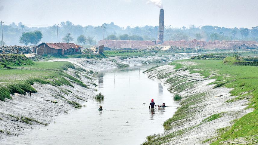
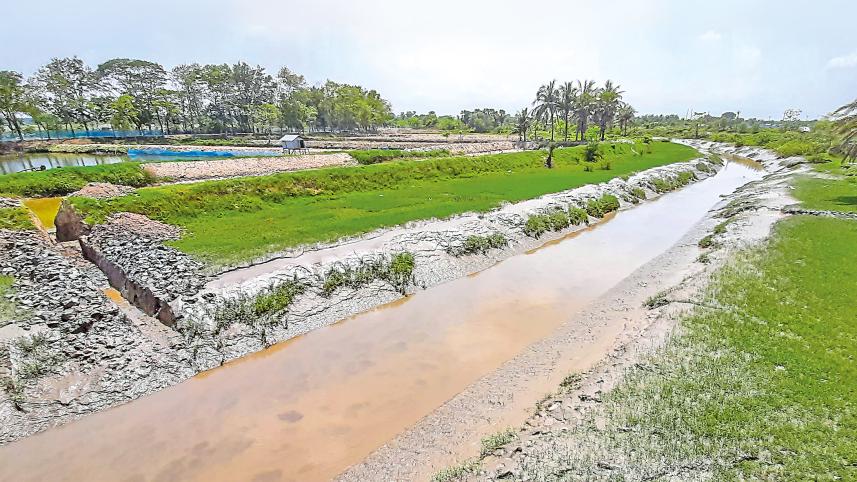
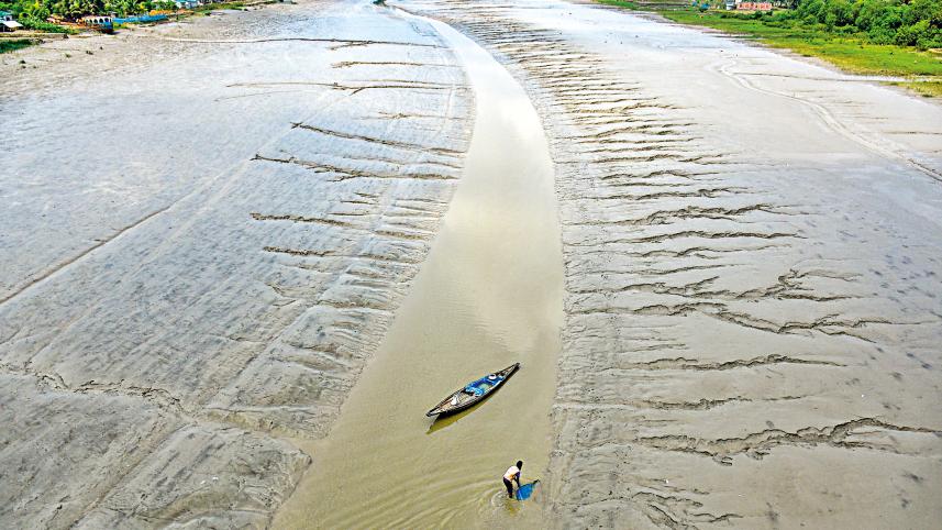
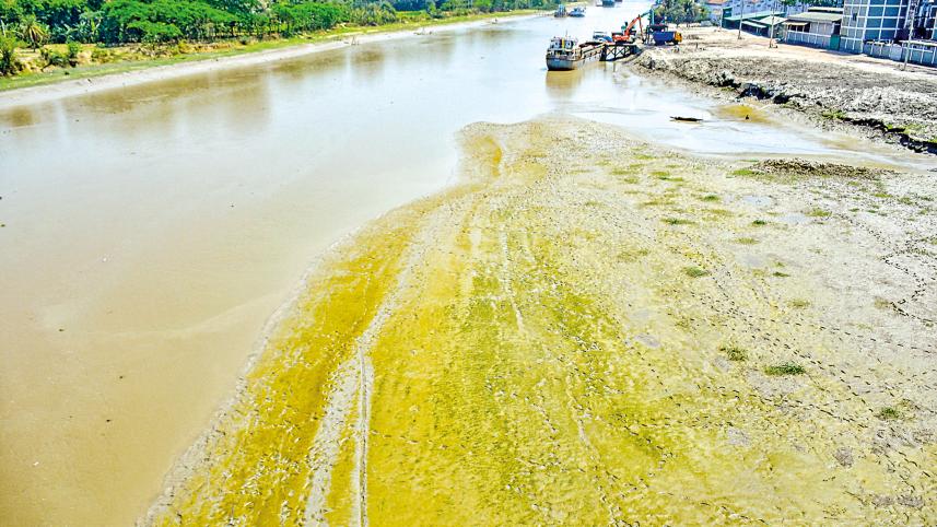
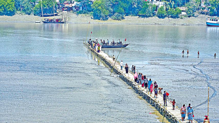
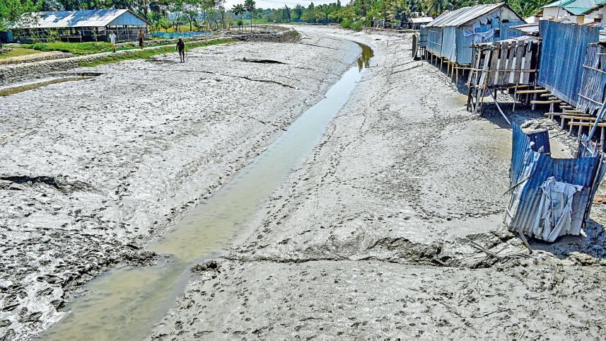
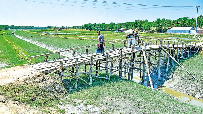
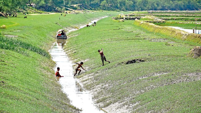
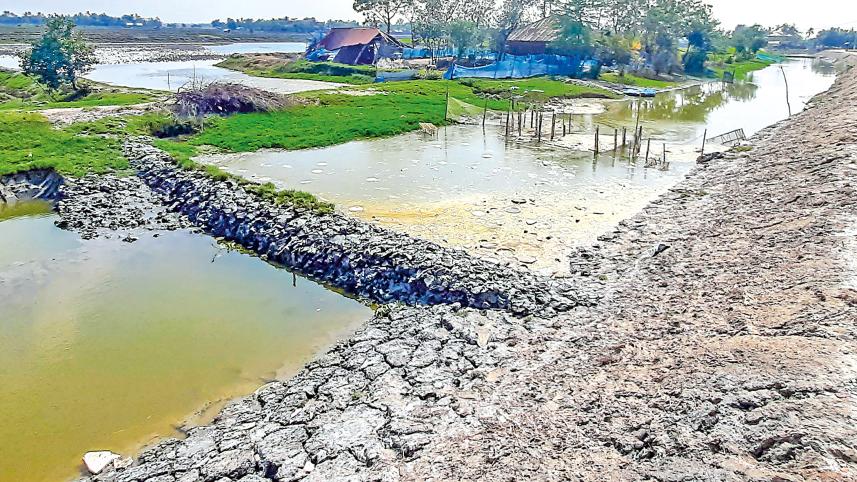
To protect croplands from saline water, a 4,800km embankment was built between 1961 and 1971 in the country's southern coastal area. However, the dyke impedes the natural flow of water to many tributaries of rivers and canals. Silt has started accumulating in the rivers. As a result, the rivers are losing navigability. For this, the life of humans and other organisms in the area have changed drastically. According to the Water Development Board, the embankment had serious consequences onsome 50 rivers over the last two decades. The Kumar, the Nabaganga, the Chitra, the Bhairab, and the Kapatakkhya are some of the worst affected rivers. The photos were taken in Khulna, Jashore and Satkhira recently.
Photos: Habibur Rahman
 For all latest news, follow The Daily Star's Google News channel.
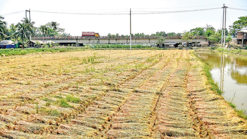
Comments