


NASA publishes satellite images of Sylhet flood
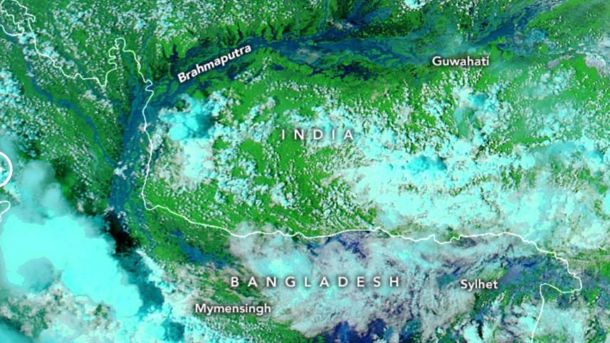
Space Research agency NASA has published the before and after satellite images of the flood-hit Sylhet region on their earth observatory website.
Space Research agency NASA has published the before and after satellite images of the flood-hit Sylhet region on their earth observatory website.
The images on NASA's website show Bangladesh's Sylhet region on May 8 and June 22. These images were acquired with the Moderate Resolution Imaging Spectroradiometer (MODIS) on NASA's Aqua satellite.
 For all latest news, follow The Daily Star's Google News channel.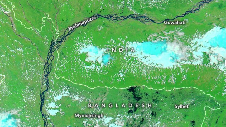
May 08, 2022 before the flood
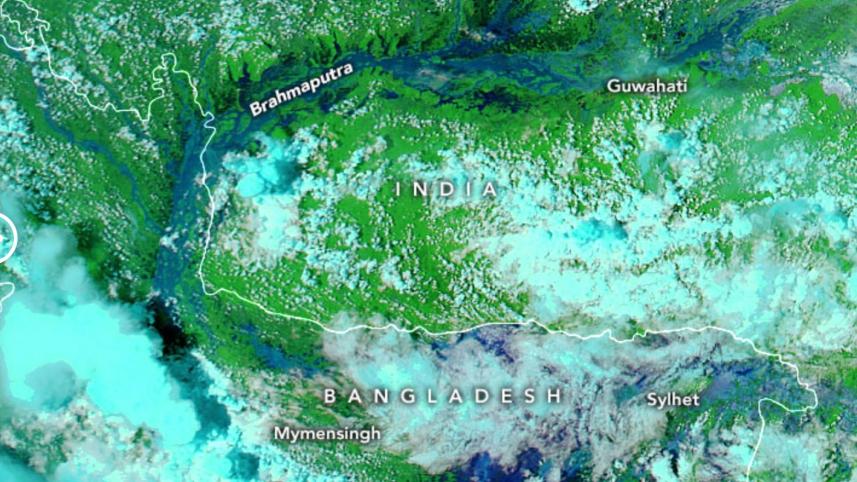
June 22, 2022 after the flood
Water appears navy blue and black; clouds are white or cyan, and vegetation is bright green.